Painting and Resurfacing
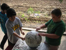
Building a 3D Globe of Mars
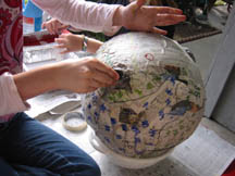
Imagine the planet Earth with no water. Imagine the empty oceans, the long Nile River, the wide Amazon River and the continents towering high above the ocean floor. Imagine Earth with no vegetation, looking like a barren desert. This image of Earth would be much like we see when we look at Mars. Could Mars ever had water? Recent discoveries indicate that yes, water once existed on Mars. Some of the features we see on Mars could have been created by rivers, lakes and oceans. The scientists are still investigating those theories but creating a 3D globe of Mars allows students to better imagine what Mars looks like and to develop theories of their own.
 |
 |
 |
 |
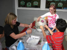
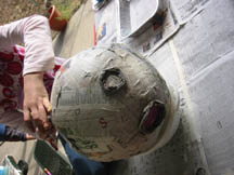
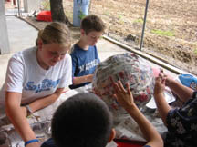
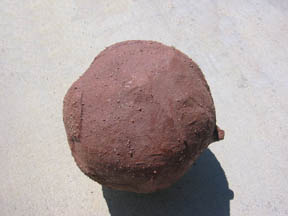
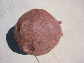
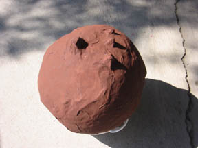
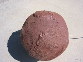
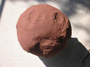
Using the MOLA globe to determine elevations of features on their Mars globe, the students began using papier-mâché to add features to their papier-mâché globe. Placing a polar cap at the North Pole worked well but when they started creating the elevated southern highlands, they ran into trouble. The highlands grew larger as the crumpled newspaper used to elevate the features expanded. As the globe dried, the features, like the deep Hellas Basin, began to disappear. So... it was back to the drawing board.
 |
 |
 |
 |
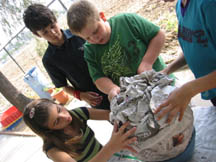
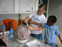
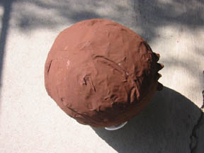
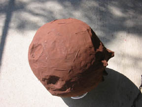
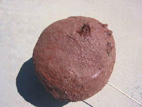
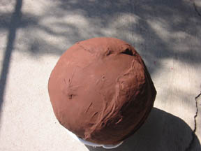
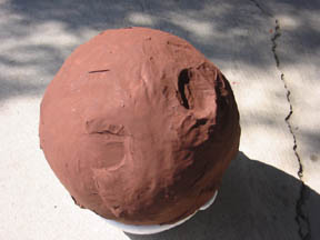
After peeling off the student formed "highlands", students built up the large features representing the volcano Olympus Mons and the Tharsis Montes chain. Bubble wrap was then used instead of crumpled paper, to build the southern highlands. The bubble wrap gave the students a better way to control the elevations. Holes were left for the Hellas Planitia and Argyre Planitia impact craters. Bubble wrap was also formed along the outline of the Isidis Planitia basin. The entire surface of the planet was then covered with two more layers of papier mâche.
 |
 |
 |
 |
 |
 |
North polar cap and northern highlands. Planum Boreum is the name of the northen polar cap.
 |
 |
Valles Marineris (ridge) along with Olympus Mons and Tharsis Montes (on the side).
 |
 |
Hellas Basin (top left) and Argyre Planitia (bottom left). Shadows make Argyre look much better than it actually is (smaller than Hellas).
 |
 |
Olympus Mons (top left) and Tharsis Montes (three together on right).
 |
 |
Isidis Planitia (top right), Utopia Planitia (center) and the Viking lander site (47.7° N, 225.9° W).
 |
 |
Olympus Mons (bottom right), Hellas Basin (top right) and Argyre Planitia (top left).
 |
 |
Hellas Basin (right) and Isidis Planitia (left). The Northern Lowlands are on the left. They look smoother than the Southern Highlands on the right).
| Home | Contact Us | Credits | Sitemap |
© 2005 - Imagiverse Educational Consortium

